Sigua River
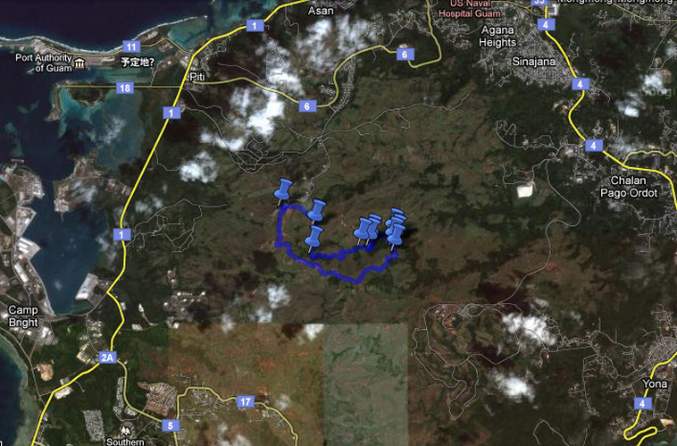
Google Maps Link (Sigua River)
My Tracks Downloadable GPS Map (Sigua River Part 2)
My Tracks Downloadable GPS Map (Sigua River Part 1)
My Tracks Downloadable GPS Map (Sigua River Part 2)
My Tracks Downloadable GPS Map (Sigua River Part 1)
Description
A general description of the hike.
Difficulty:
5 out of 5 (Extremely Long Hike)
Length:
6.8 Miles
Elevation:
900 feet down, 900 feet up
Special Conditions:
Water is very cloudy after heavy rain. (This hike sucks if the water is cloudy)
Tip: In the Rainy Season, wait till you have had several days without rain before you go here.
The land part of the hike can be very slippery after recent rain.
The river is always slippery.
In the River - I recommend using scuba diving shoes with a felt bottom or put a pair of socks over your regular shoes.
This hike can be an extremely rough hike. This hike only is recommended for hardcore hikers. Do not take children, elderly, or overweight people.
Getting to the Parking
From Agana, head south on Marine Corp. Drive (Route 1) till you reach the village of Piti. Turn left by the Veteran's Cemetery on to Spruance Drive (Route 6). You are now heading East and up Nimitz Hill. Travel 1.7 miles up Nimitz Hill. Next you turn Right onto Larson road. As soon as you turn onto Larson Road it will dead end. A closed gate will be on your left and a field will be in front of you. On your right, is Turner Road. Turn right onto Turner Road and continue to travel up hill. This road will wind around and provide some amazing views of the valley below. Continue heading up Turner road for 1.5 miles. You will begin to see houses. Park your car in the small field after the last house on the right. Please examine and print the Google map. Please download the GPS map.
The Hike
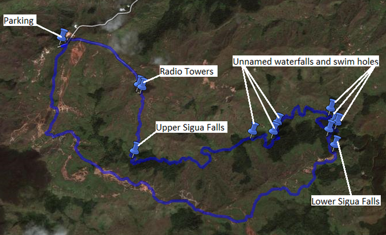
The Maps
Pictures
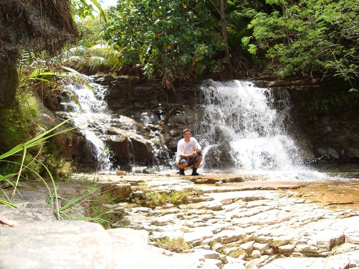
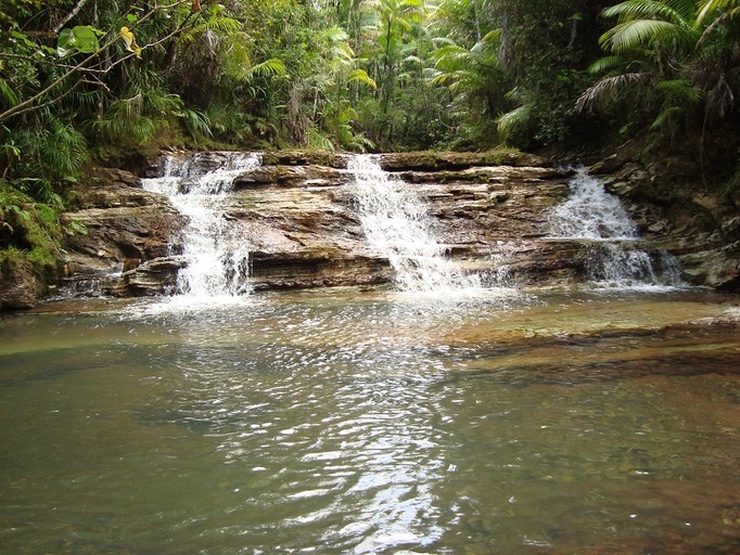
Small Waterfall at the top of Lower Sigua Falls
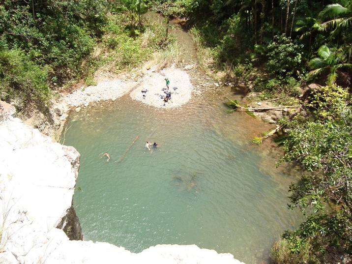
Great Swim Hole at the Top of Lower Sigua Falls
A view of Lower Sigua Falls from the Top
Starting to hike up the Sigua River
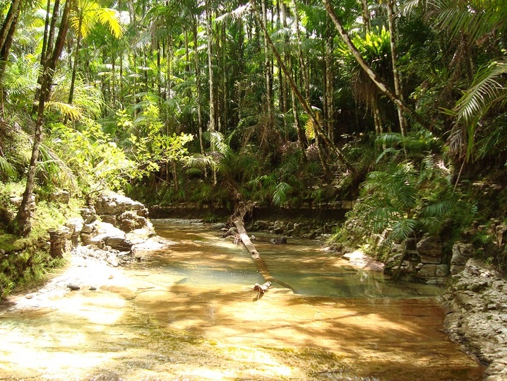
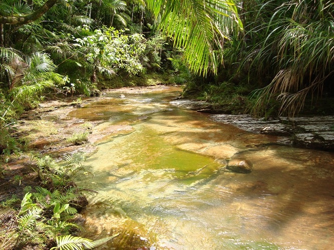
Lots of beautiful River
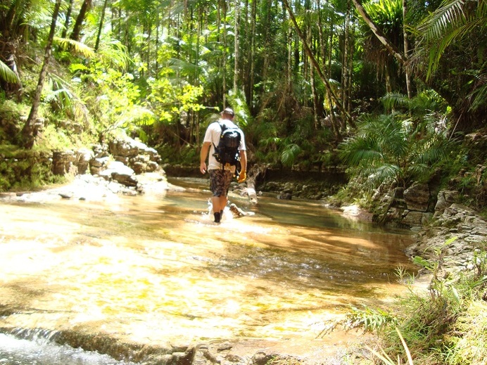
Heading up the River
Lots of Interesting Rocks and Riverbed
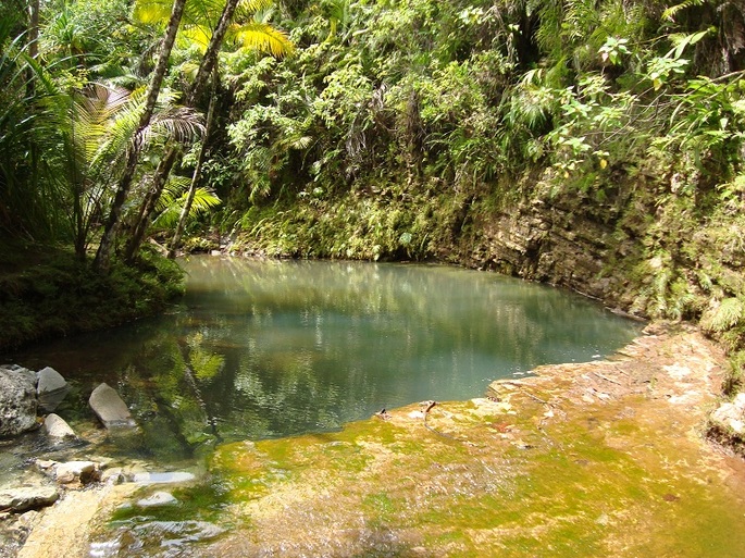
A Really Nice Swim Hole
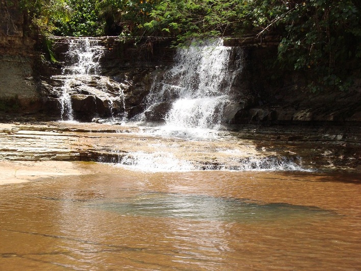
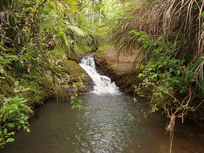
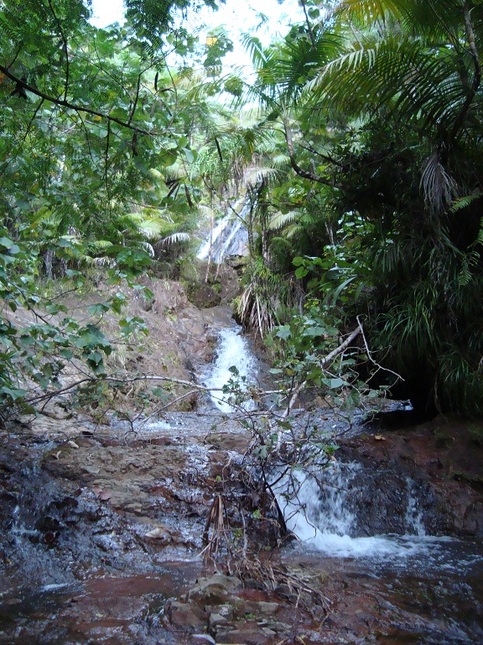
An Unnamed Waterfall
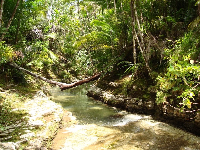
An interesting pinch in the river.
Upper Sigua Falls from the bottom.
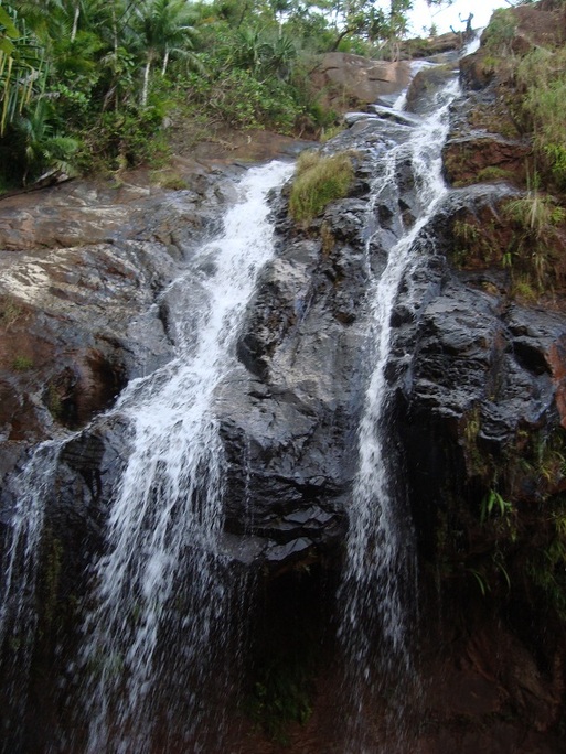
Another view of Upper Sigua Falls.
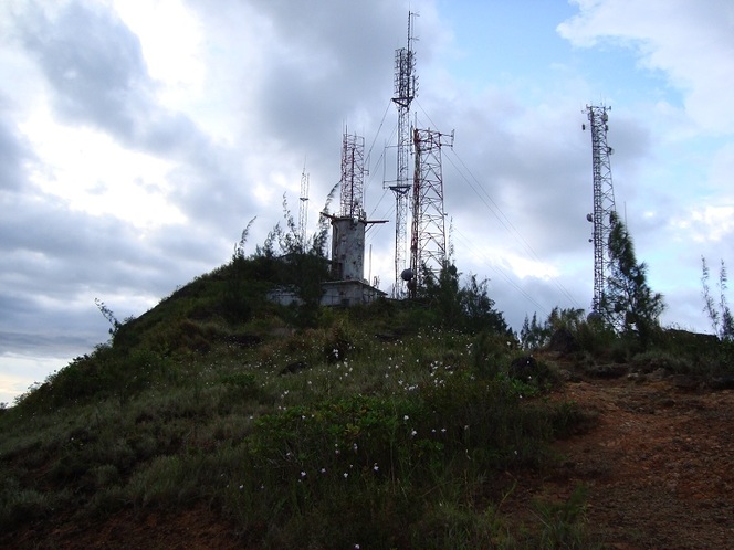
The Radio Towers
HTML Comment Box is loading comments...
