Lonfit River Basin (Waterfalls)
Description
A general description of the hike.
Difficulty:
5 out of 5
Length:
7.5 miles
Elevation:
300 feet down, 300 feet up
Special Conditions:
Wet hike, be prepared to be wet (but cool) most of the day.
Sippery, put socks over your shoes, or where felt bottom (scuba diving) shoes.
This is an extended hike. If you want to do a less difficult hike, simply do San Carlos or Lonfit.
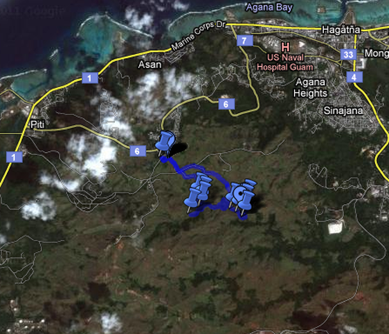
Getting to the Parking
From Agana, head south on Marine Corp. Drive (Route 1) till you reach
the village of Piti. Turn left by the Veteran's Cemetery on to Spruance
Drive (Route 6). You are now heading East and up Nimitz Hill. Travel
1.7 miles up Nimitz Hill. Next you turn Right onto Larson road. As
soon as you turn onto Larson Road it will dead end. A closed gate will
be on your left and a field will be in front of you. Park in the field.
The Hike
Extremely detailed description of the hike.
The Maps
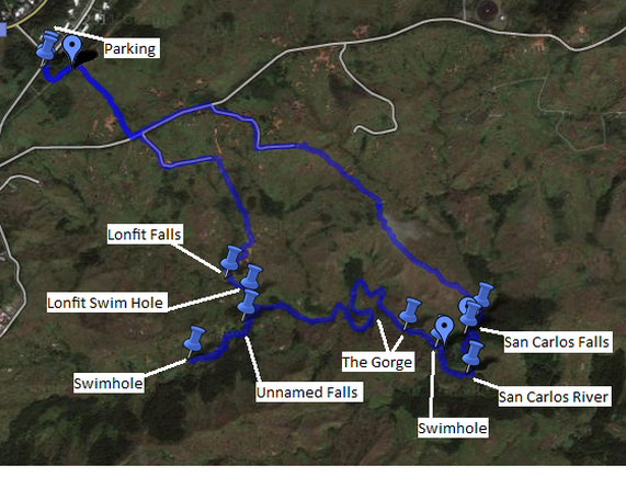
Pictures
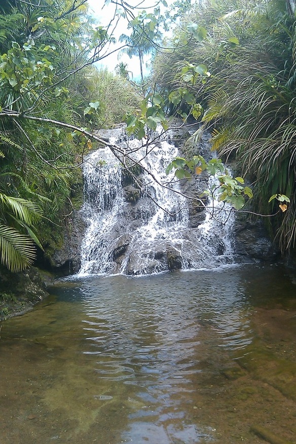
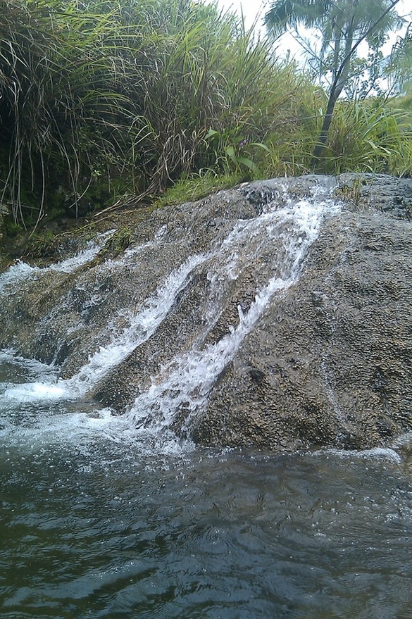
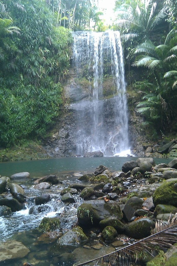
Lonfit Falls
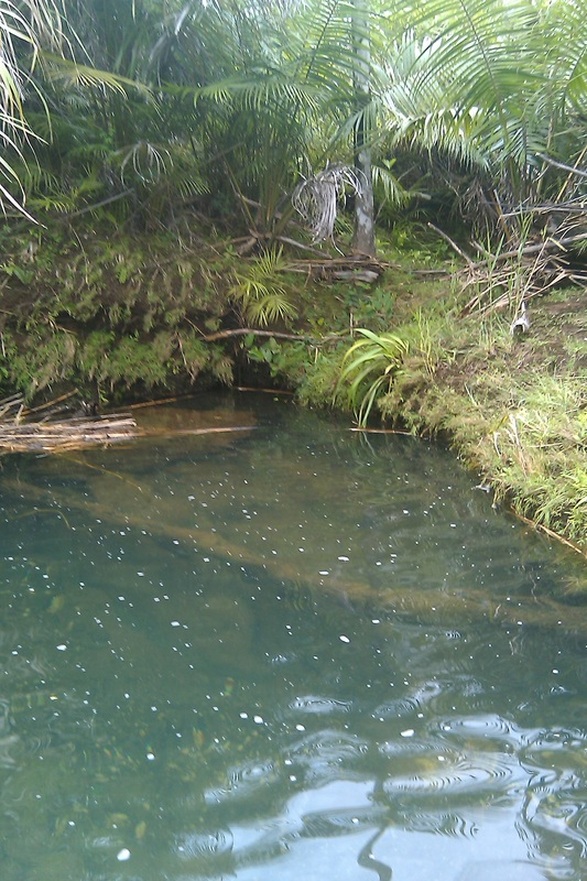
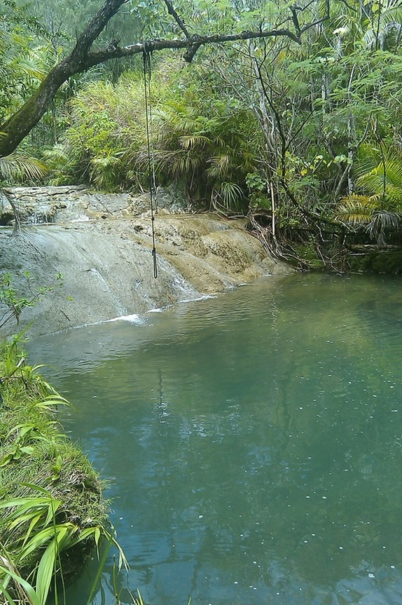
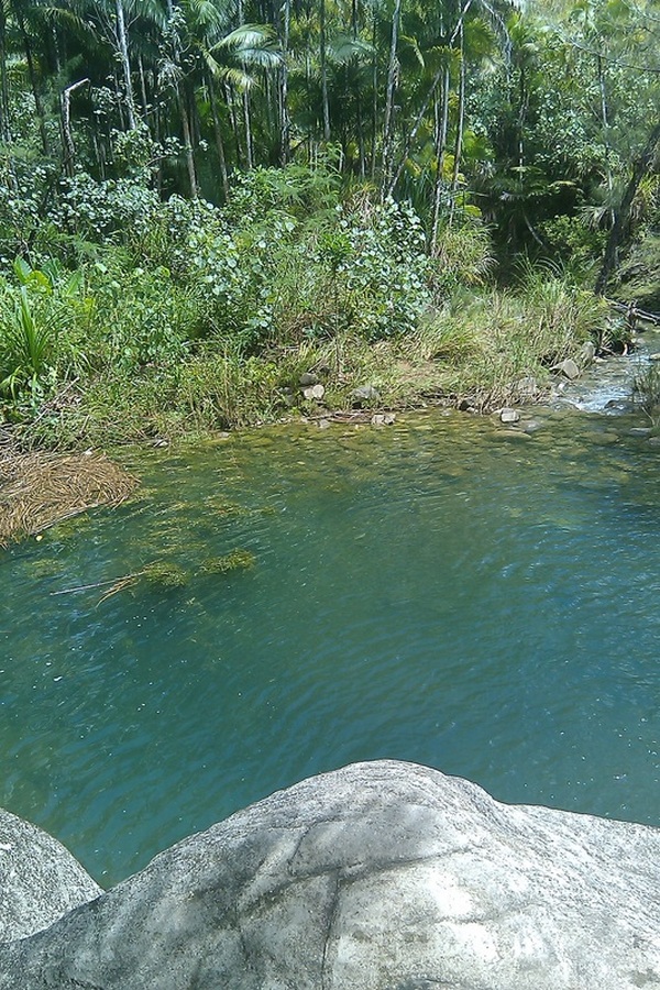
Lonfit Swim Hole
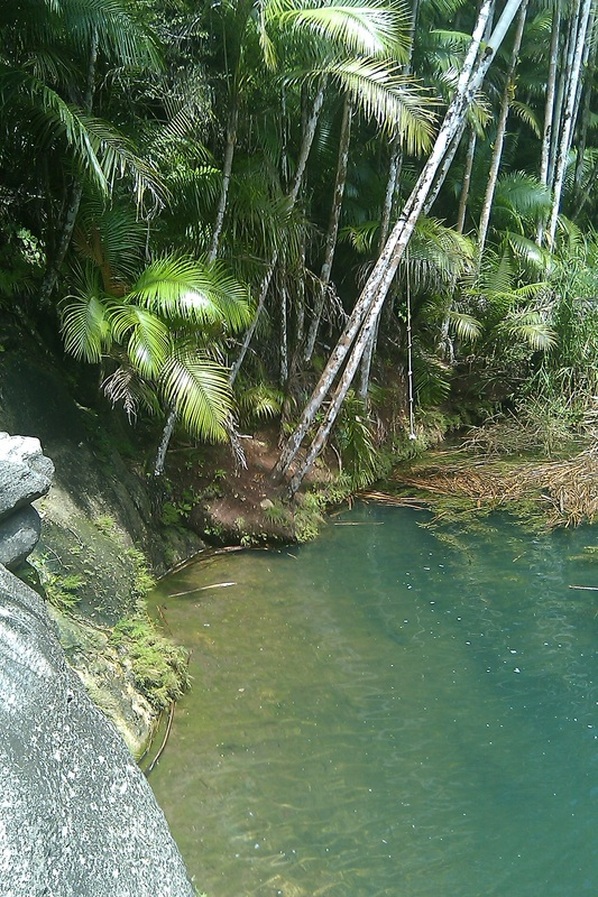
The other side of the Lonfit Swim Hole.
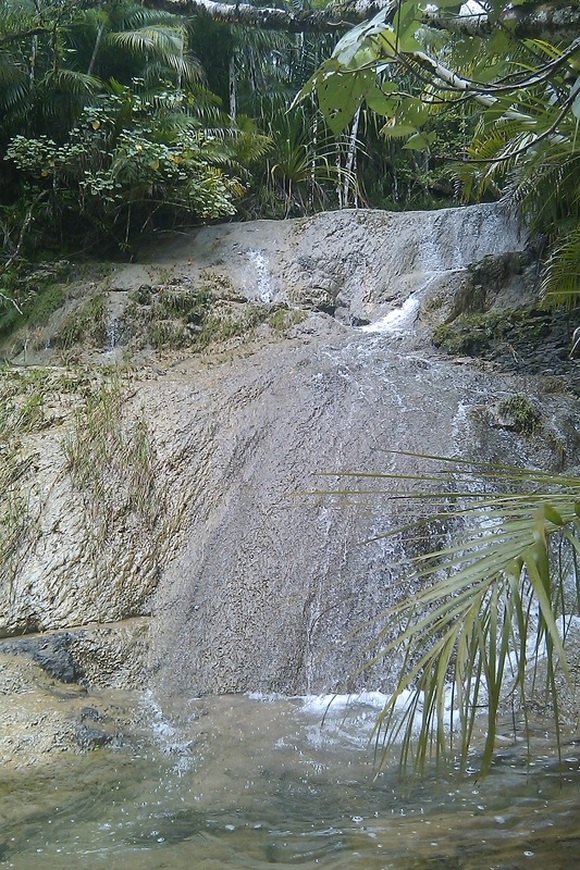
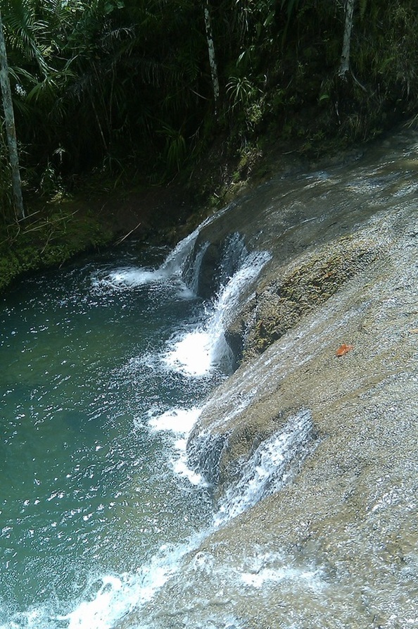
Unnamed Falls
Swim Hole

Another Picture of the Swim Hole
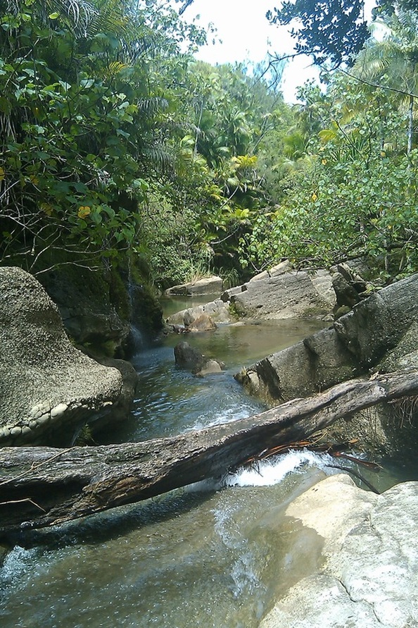
A rocky part of the Lonfit River (near the San Carlos Swim Hole)
San Carlos Swim Hole.
Another View of San Carlos Swim Hole.
Yet another veiw of the San Carlos Swim Hole.
San Carlos Falls
HTML Comment Box is loading comments...
